Log in
All resources
Create a design
41,464 Free Images of 1906 Maps
maps in the library of congress
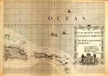
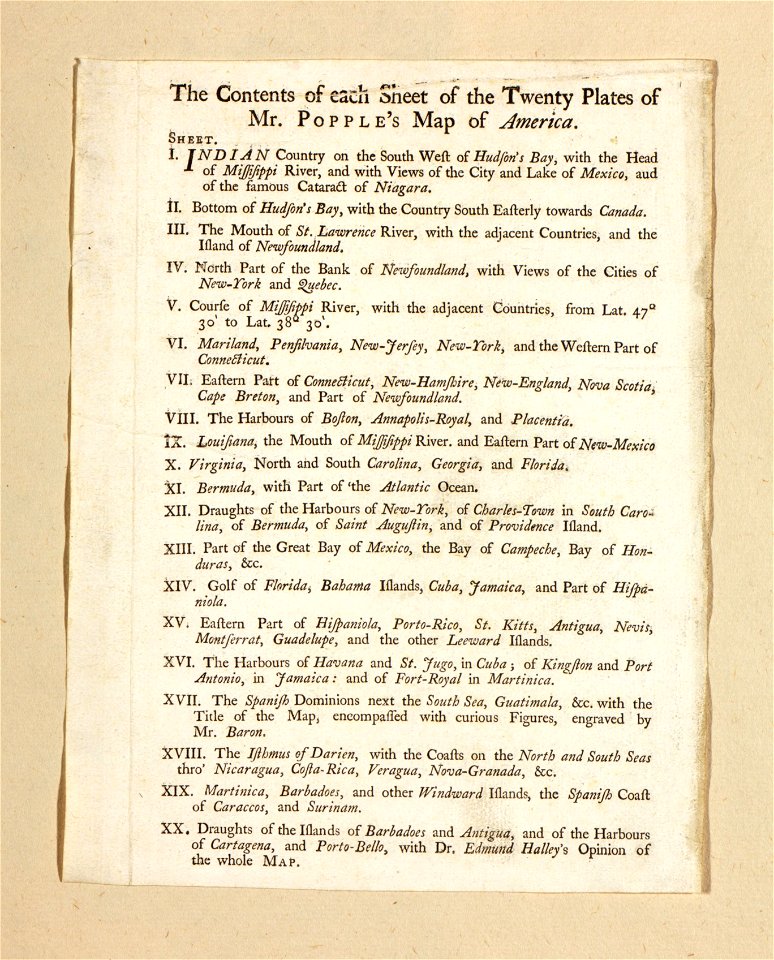
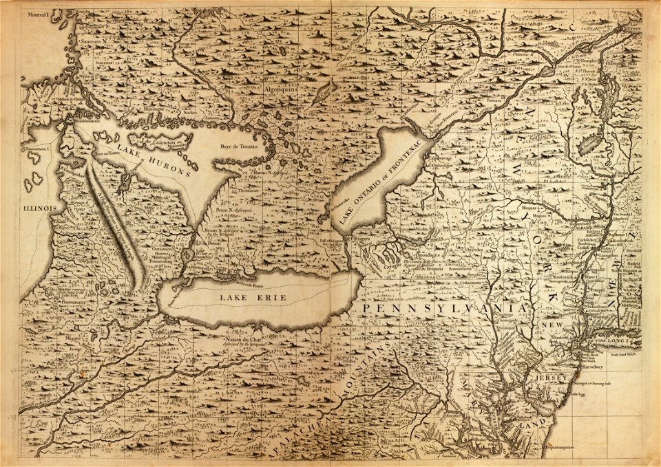
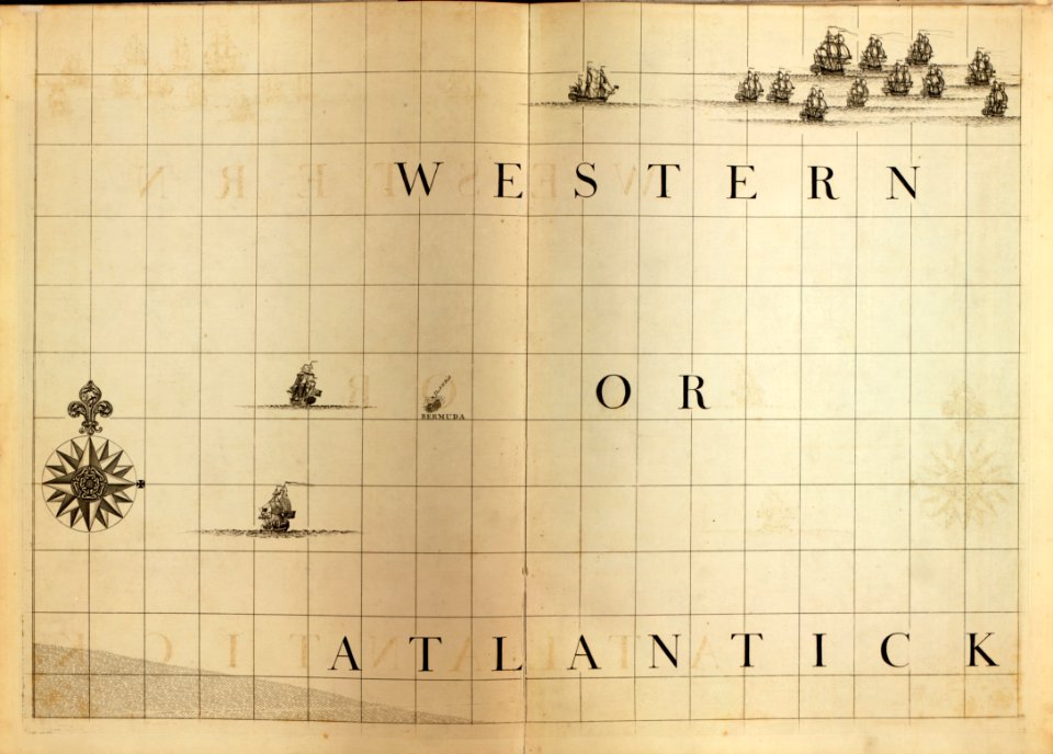
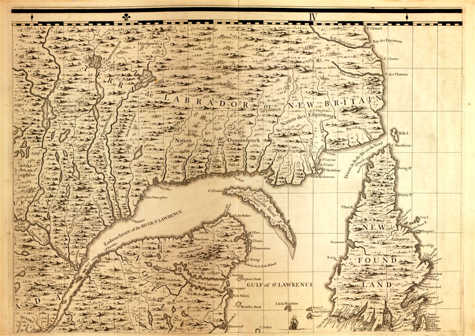
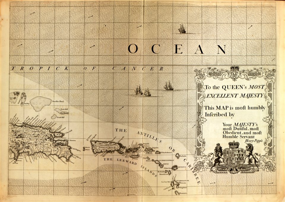
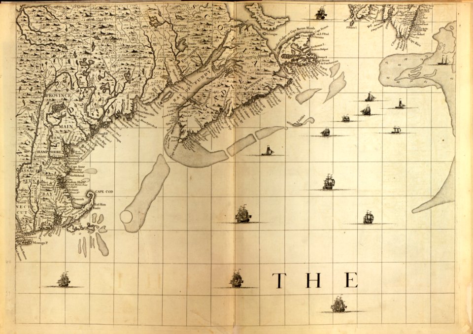
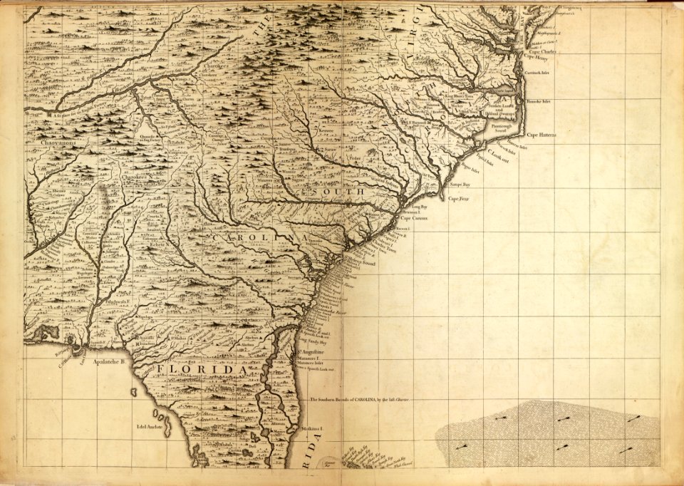
a map of the british empire in america with the french and spanish settlements adjacent thereto
old maps of livorno
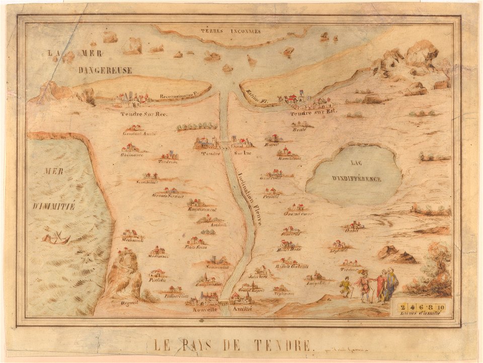
cornell: persuasive cartography: the pj mode collection
german paintings in the hamburger kunsthalle
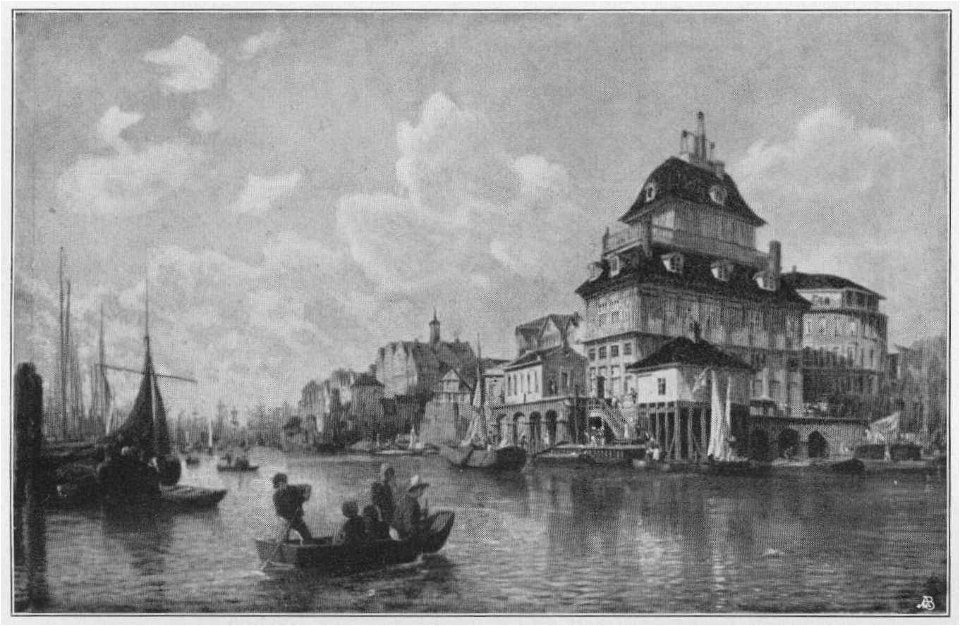
19th-century paintings in the hamburger kunsthalle
hamburger schule – das 19. jahrhundert neu entdeckt
jahrhundertausstellung deutscher kunst 1906
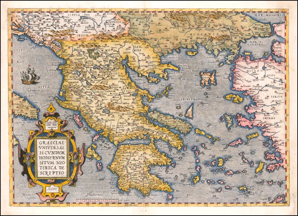
maps by sebastian münster
gerard valck
a map of the british empire in america with the french and spanish settlements adjacent thereto
maps in the library of congress
a map of the british empire in america with the french and spanish settlements adjacent thereto
maps in the library of congress
a map of the british empire in america with the french and spanish settlements adjacent thereto
maps in the library of congress
a map of the british empire in america with the french and spanish settlements adjacent thereto
maps in the library of congress
a map of the british empire in america with the french and spanish settlements adjacent thereto
maps in the library of congress
a map of the british empire in america with the french and spanish settlements adjacent thereto
maps in the library of congress
a map of the british empire in america with the french and spanish settlements adjacent thereto
maps in the library of congress
a map of the british empire in america with the french and spanish settlements adjacent thereto
maps in the library of congress
a map of the british empire in america with the french and spanish settlements adjacent thereto
maps in the library of congress
a map of the british empire in america with the french and spanish settlements adjacent thereto
maps in the library of congress
a map of the british empire in america with the french and spanish settlements adjacent thereto
maps in the library of congress
a map of the british empire in america with the french and spanish settlements adjacent thereto
maps in the library of congress
a map of the british empire in america with the french and spanish settlements adjacent thereto
maps in the library of congress
a map of the british empire in america with the french and spanish settlements adjacent thereto
maps in the library of congress
a map of the british empire in america with the french and spanish settlements adjacent thereto
maps in the library of congress
a map of the british empire in america with the french and spanish settlements adjacent thereto
maps in the library of congress
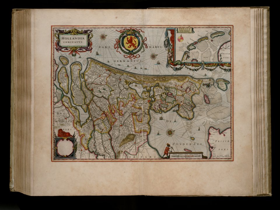
joan blaeu
old map
cornell: persuasive cartography: the pj mode collection
cornell university library
old maps of île de la cité
île de la cité in art
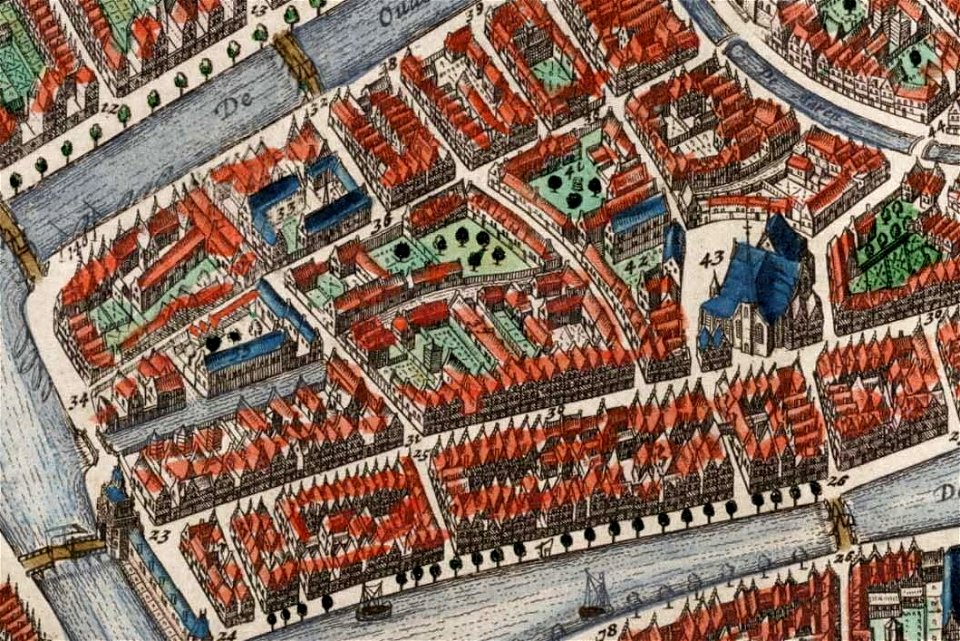
map of paris by claes jansz. visscher - derivate files
churches in paris on the maps
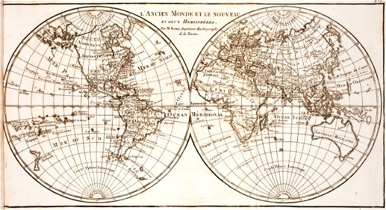
world map
project
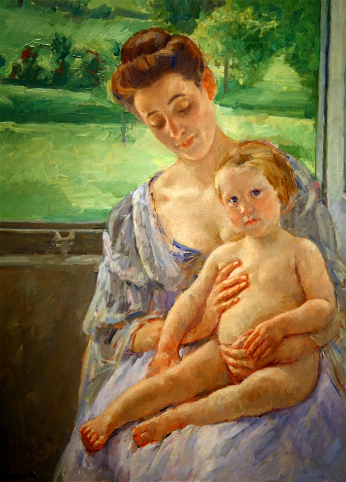
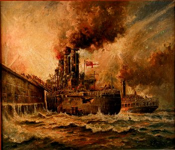
1906 oil on canvas paintings in the united states
paintings of mother and child by mary cassatt
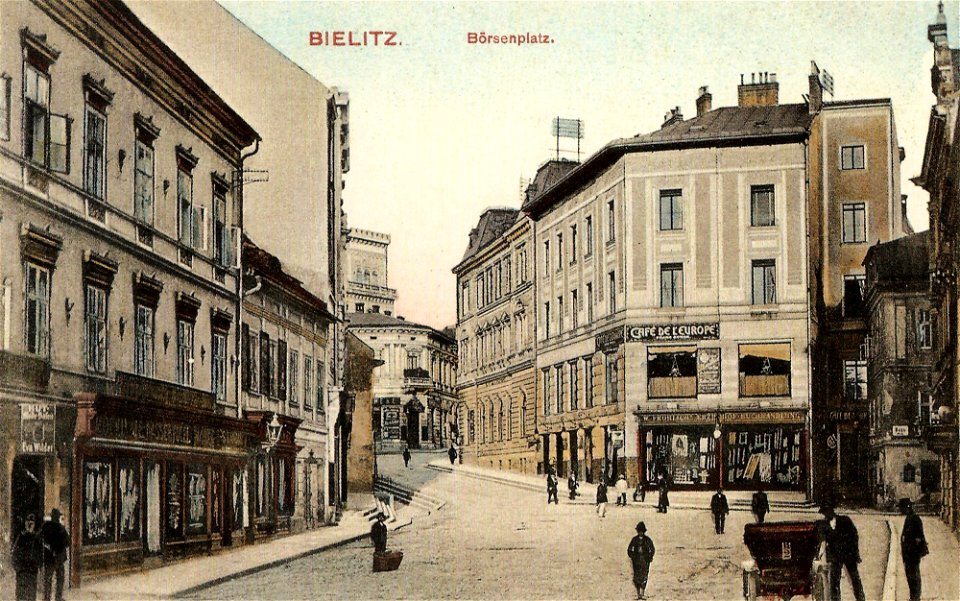
tenement houses in bielsko-biała
meißen
1906
1917
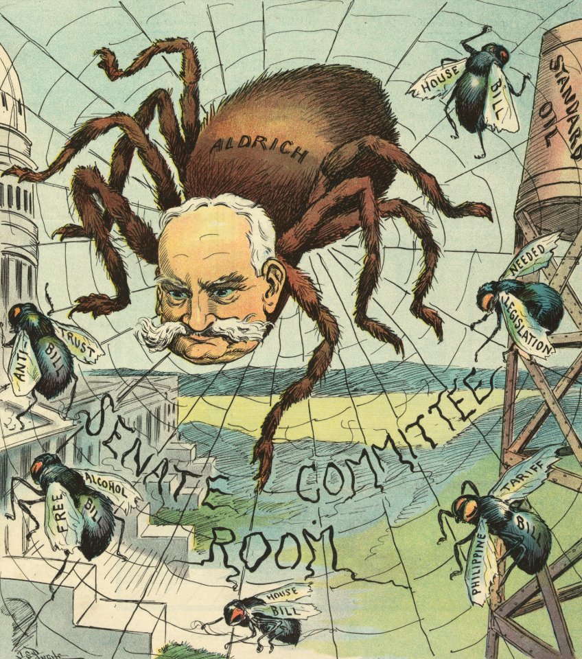
puck
1906
printing
1906
prints by anders zorn by delteil number
dancing peasants in art
1906 oil on canvas paintings
idle
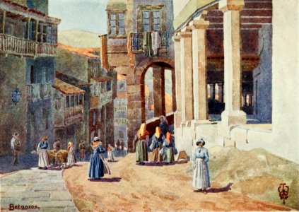
people in galicia (spain) in art
streets in betanzos
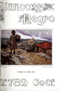
blanco y negro
1906
london
1897
works by pierre-auguste renoir by fezzi number
female hands in art
portrait paintings in the nationalmuseum stockholm
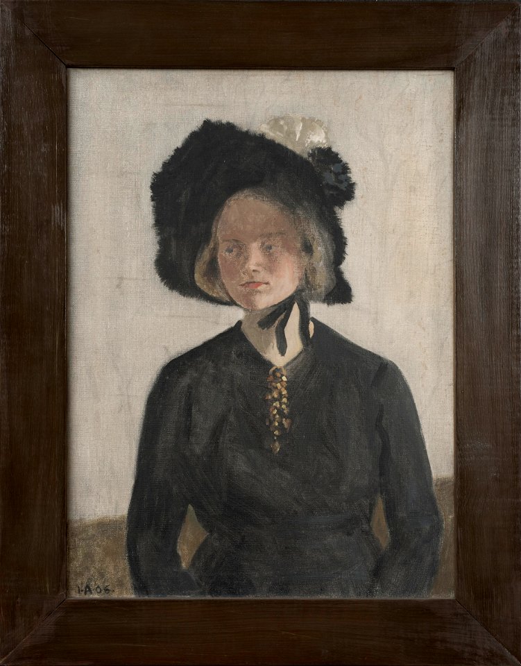
19th-century portrait paintings of artist's wife
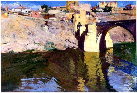
bridges in toledo in art
toledo
19th-century paintings in the hamburger kunsthalle
german paintings in the hamburger kunsthalle
19th-century paintings in the hamburger kunsthalle
german paintings in the hamburger kunsthalle
19th-century paintings in the hamburger kunsthalle
german paintings in the hamburger kunsthalle
theodor de bry
amazon
old maps of india
old maps of tibet
university of toronto wenceslas hollar digital collection
hollar maps and plans of london
images from the bulgarian archives state agency
maps by sebastian münster
maps of the dutch east india company - madagascar
1635
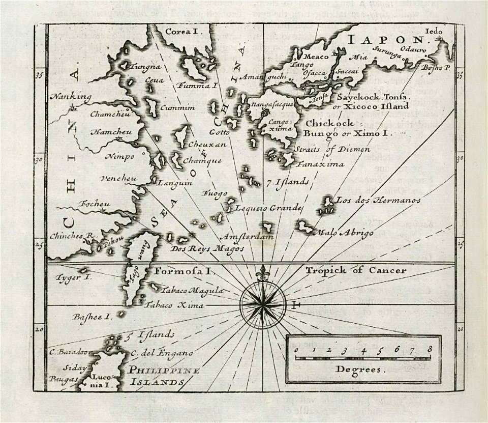
maps of the dutch east india company - japan
1732
maximilien de béthune
duc de sully
maps made in the 18th century
gerard valck
maps made in the 17th century
gerard valck
cornell university library
puritan
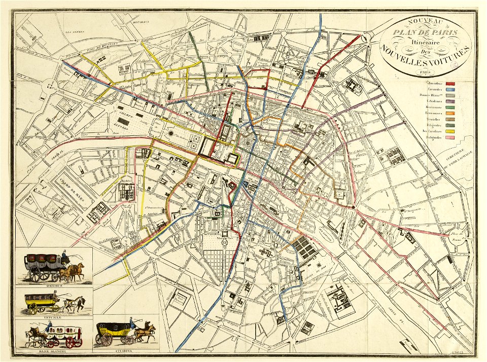
horse-drawn buses in paris
historical buses in paris
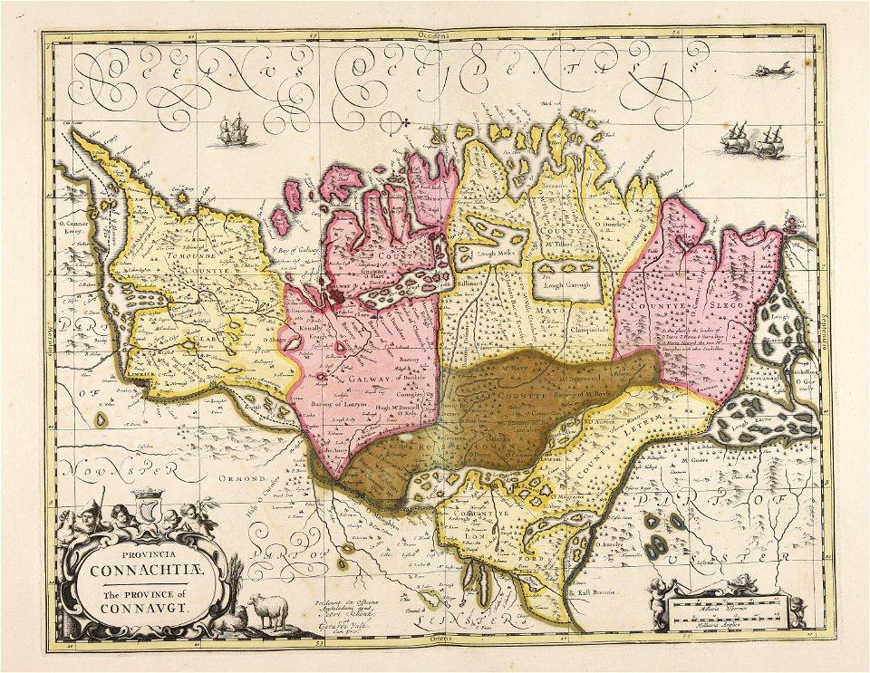
old maps of ireland
gerard valck
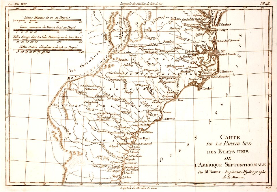
18th-century maps of north carolina
1780 maps
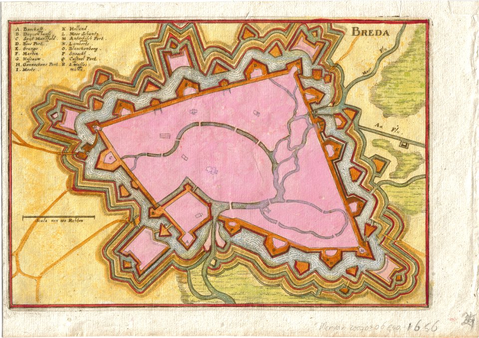
coats of arms of breda
netherlands
maps in utrecht university library
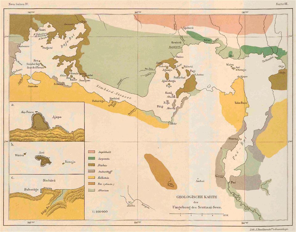
lake sentani
maps of sweden
strängnäs
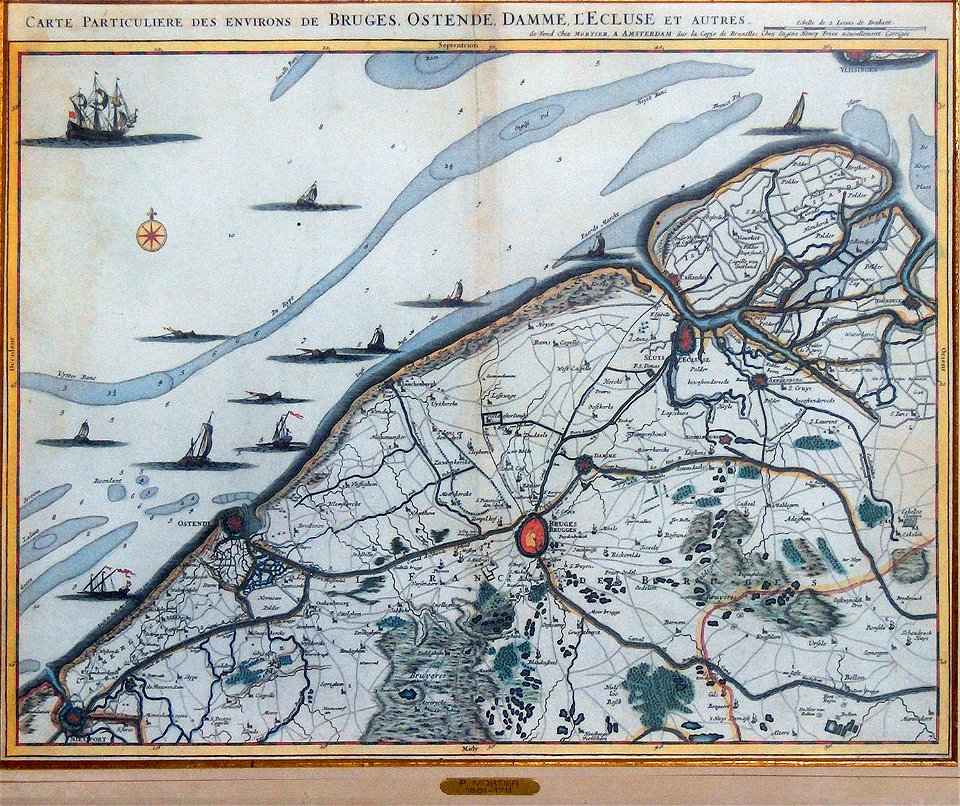
old maps of ostend
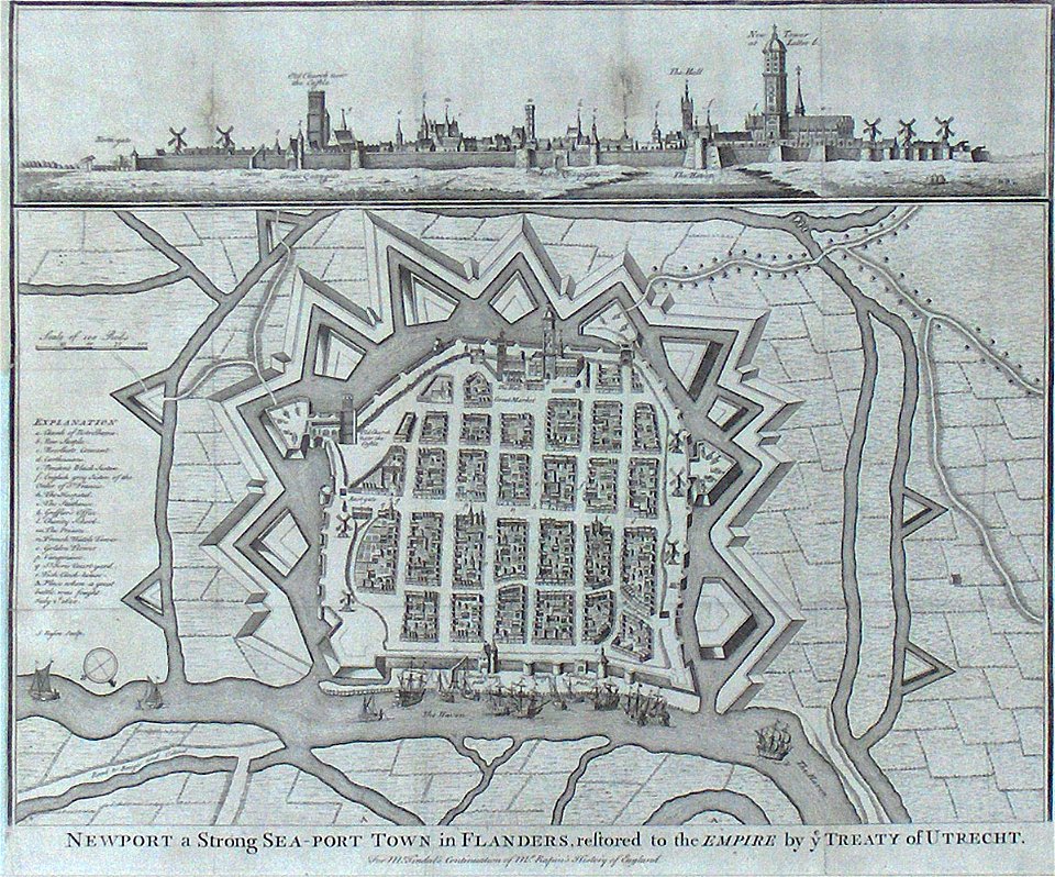
old maps of nieuwpoort
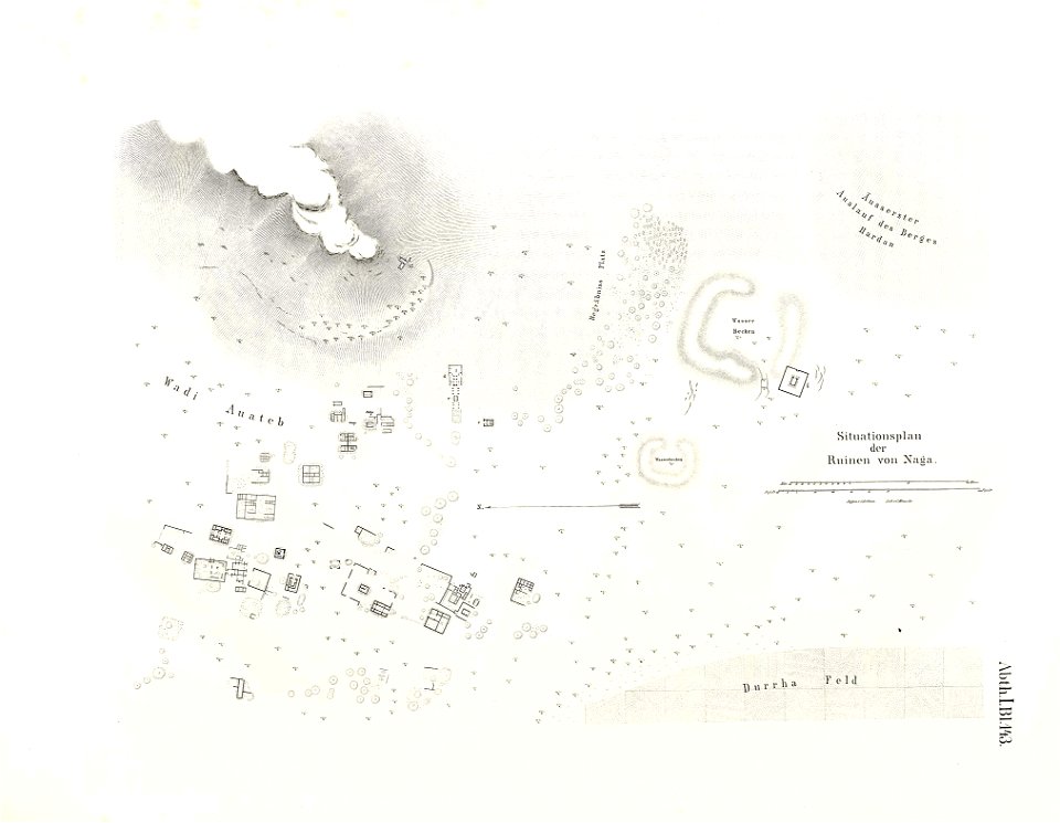
lepsius-projekt - maps
naqa
lepsius-projekt - maps
dimai
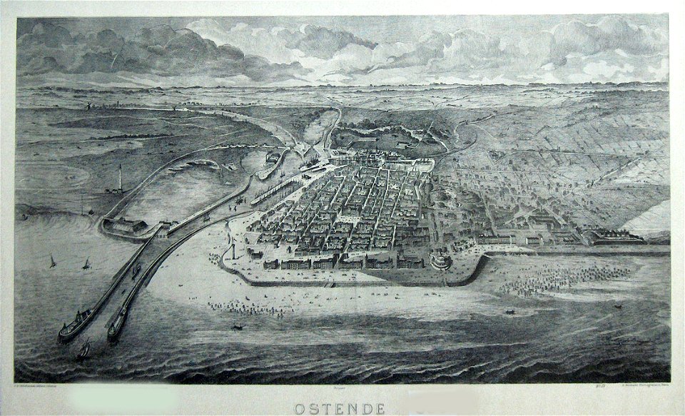
old maps of ostend
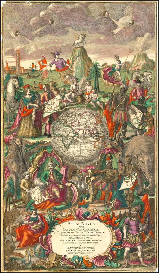
maps by matthäus seutter
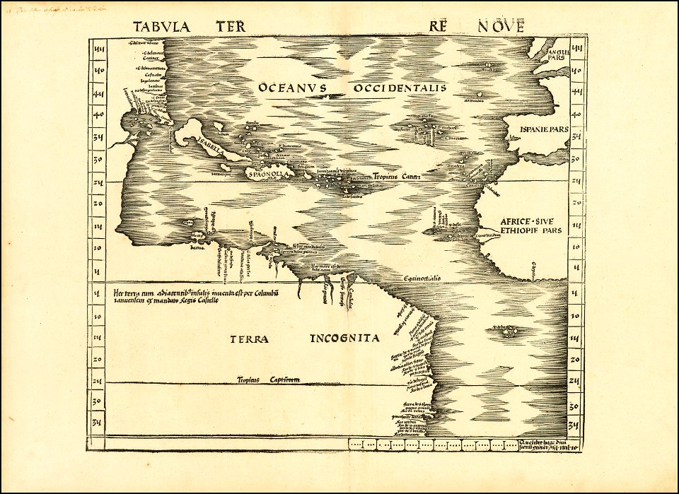
maps by martin waldseemüller
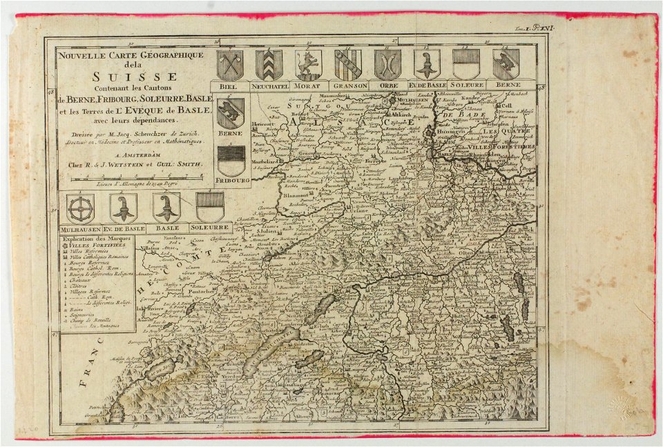
old maps of switzerland
old maps of zierikzee
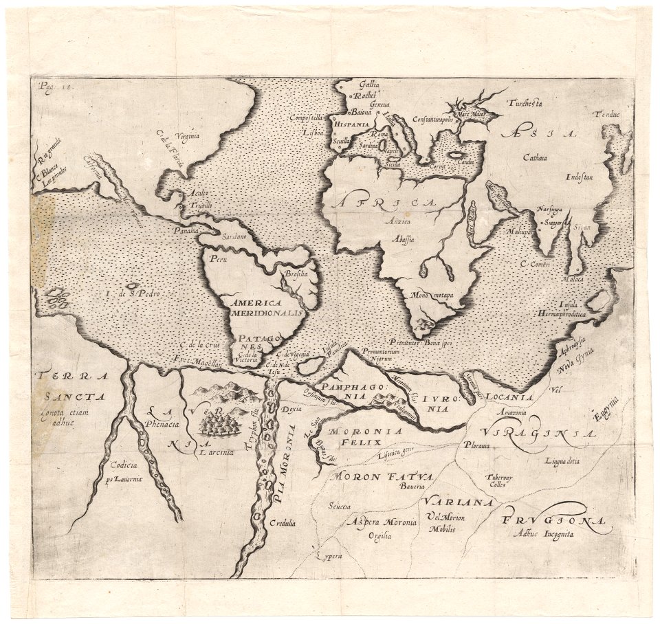
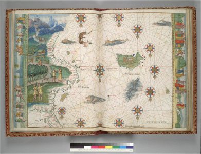
vallard atlas
1547 maps
maps by sebastian münster
maps by jodocus hondius
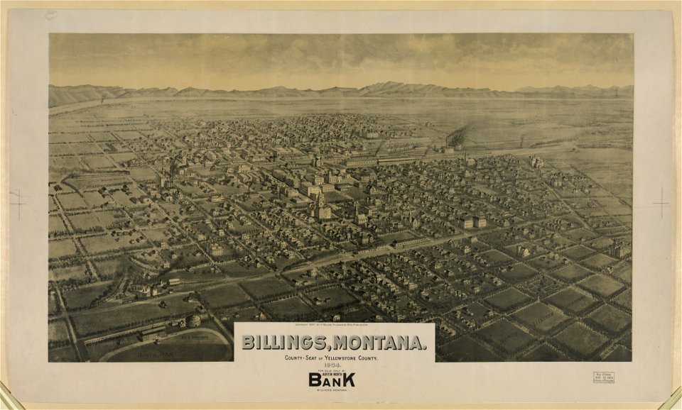
maps of billings
montana
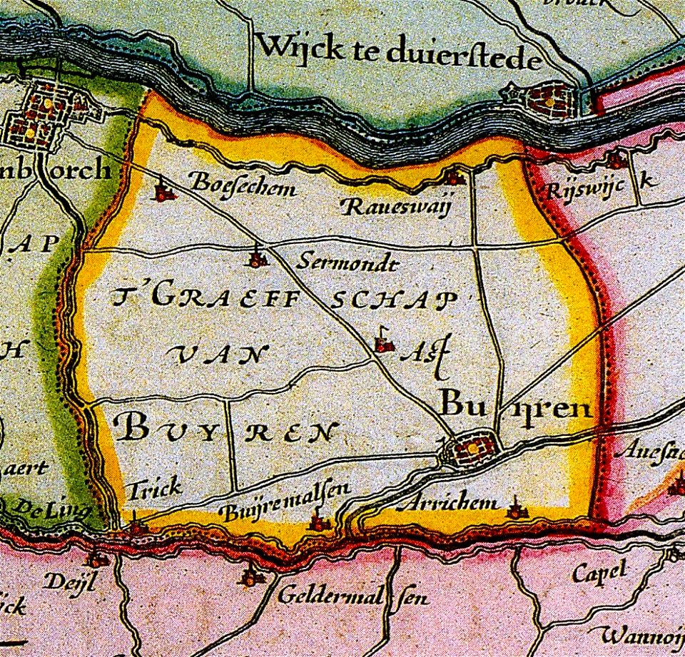
maps of buren
gelderland
maps by matthäus seutter
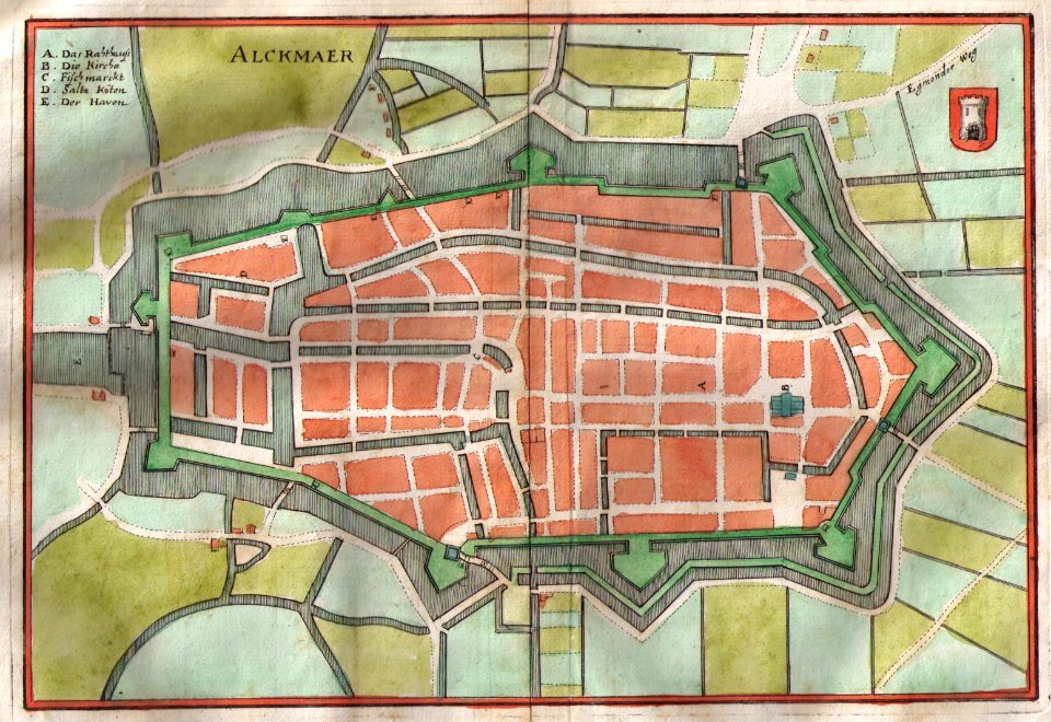
old maps of alkmaar
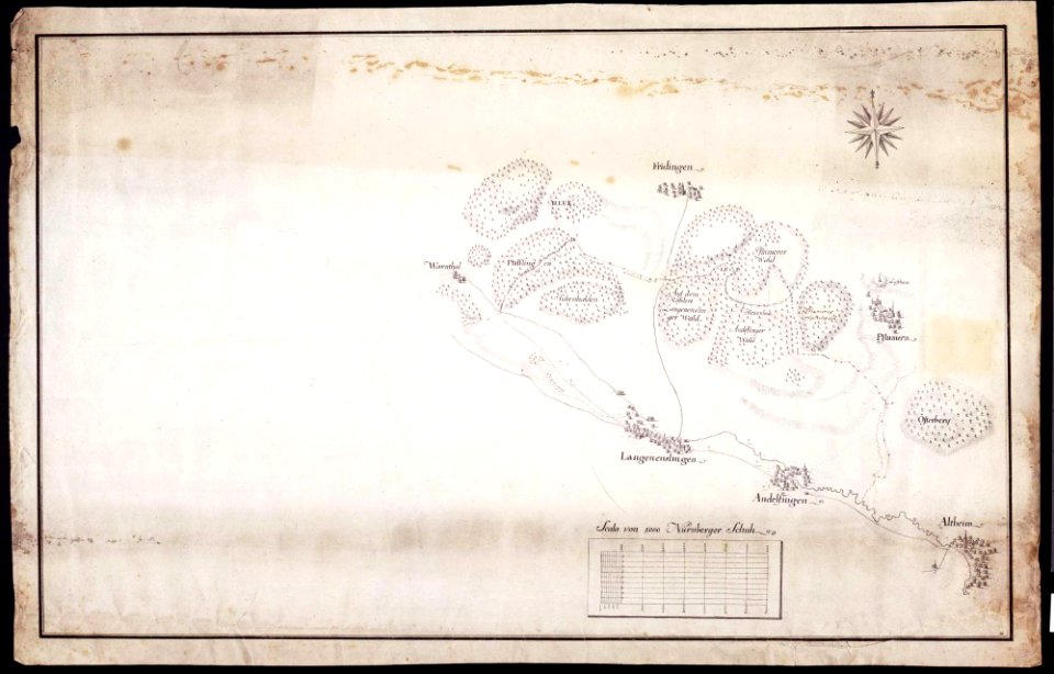
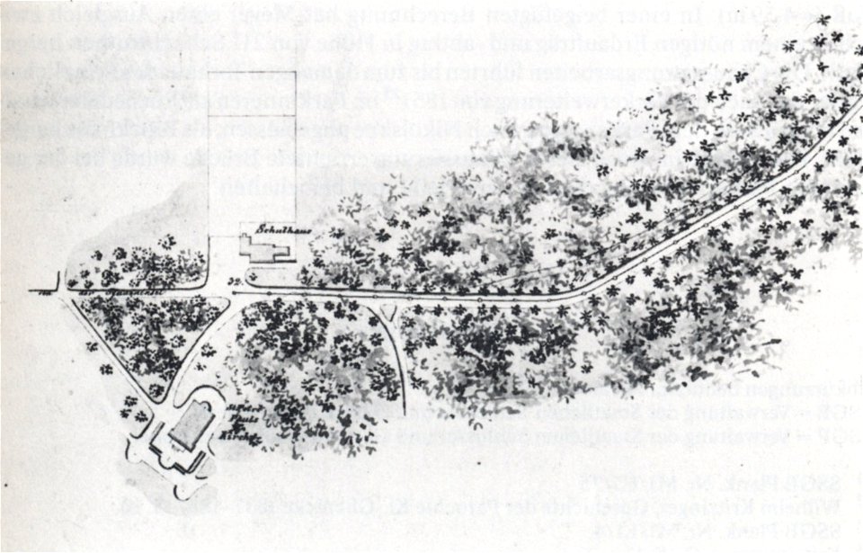
maps of württemberg
langenenslingen
maps of württemberg
langenenslingen
old maps of breda
old maps of anjouan
matthäus merian
1636 maps
maps by sebastian münster
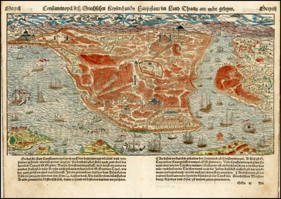
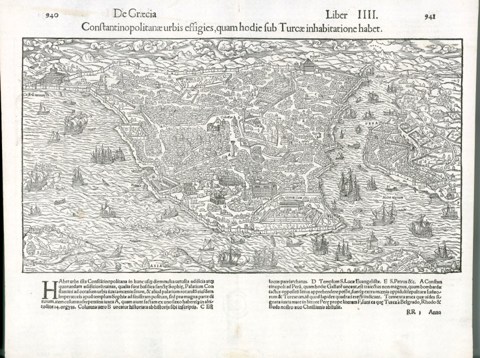
old maps of istanbul
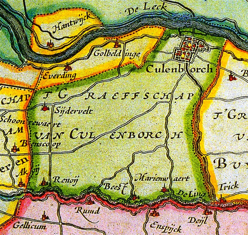
old maps of culemborg
maps by abraham ortelius
maps by martin waldseemüller
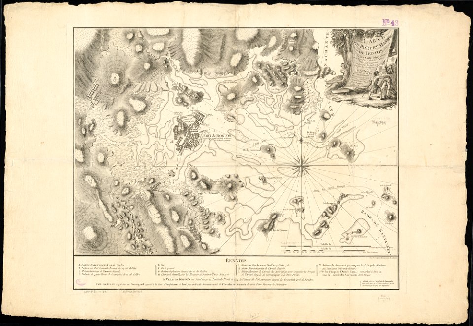
1776 maps of boston
old maps of leiden
old maps of arnhem
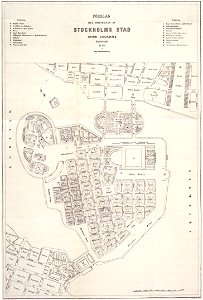
maps of gamla stan
maps of éfaté island
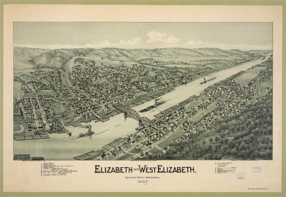
1897 maps of pennsylvania
maps of loiret
giens
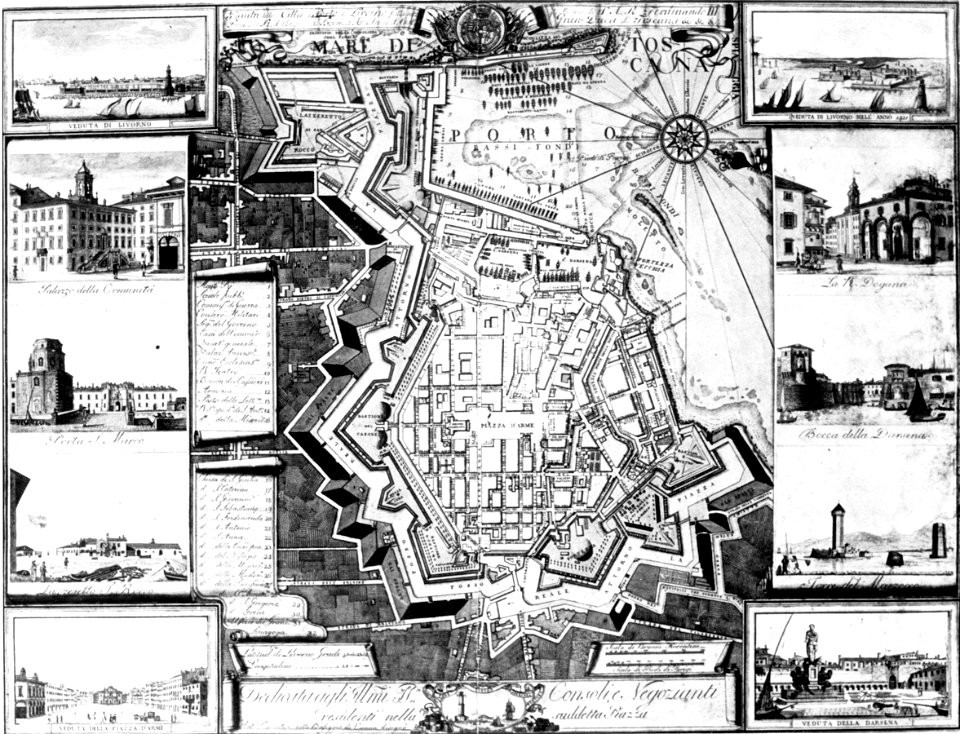
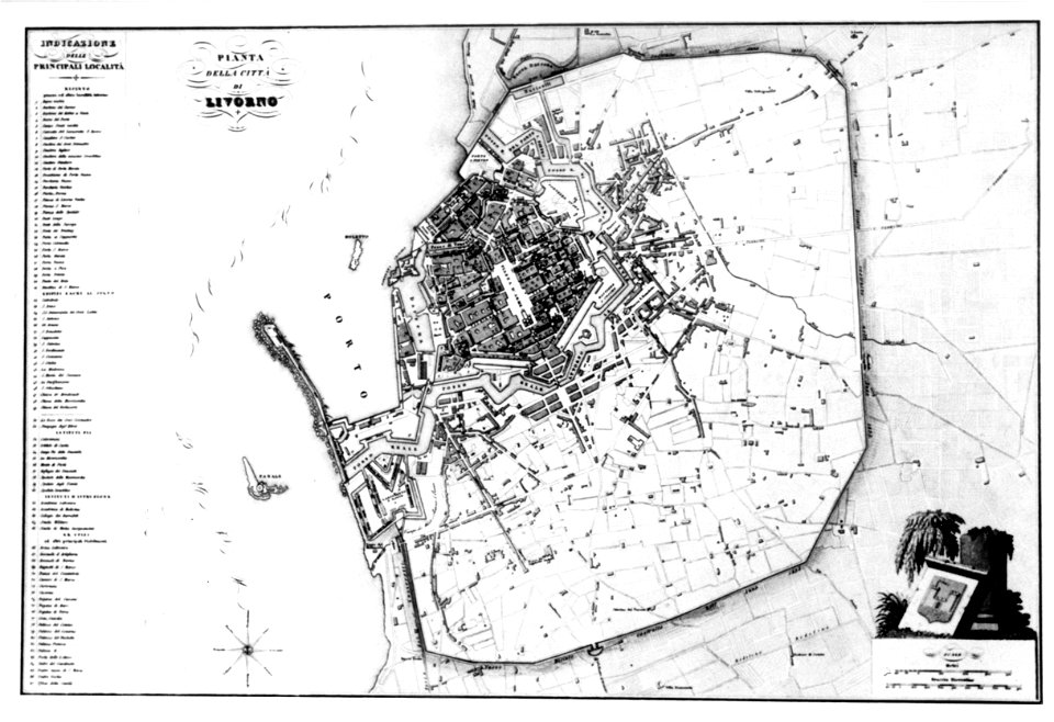
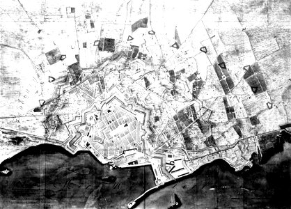
old maps of livorno
old maps of livorno
old maps of livorno
old maps of livorno
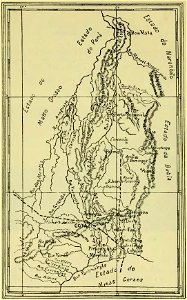
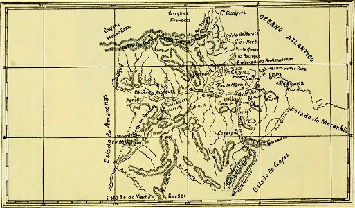
old maps of goiás
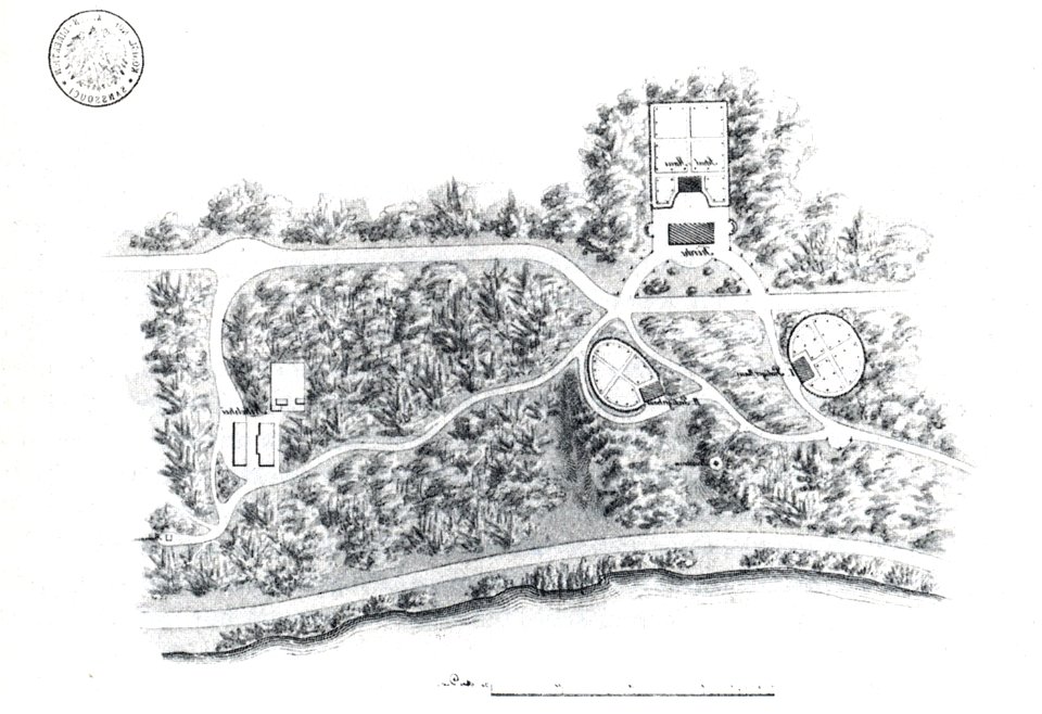
nikolskoe (berlin)
1832 maps
nikolskoe (berlin)
1848 maps
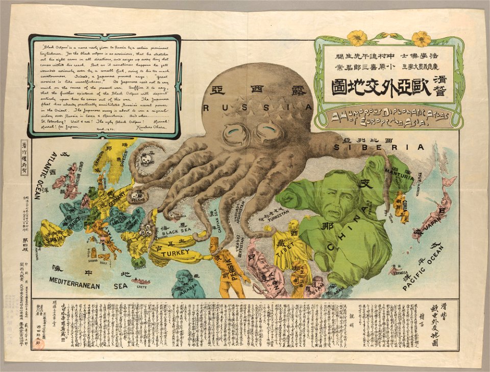
19th-century satirical maps
maps by antonio zatta
maps by antonio zatta
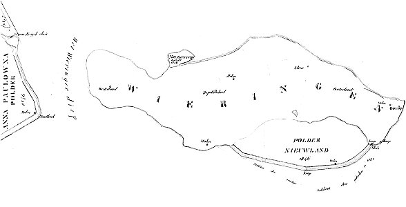
maps of wieringen
wieringen
old maps of verona
old maps of pará
maps of maui
maui
6601 - 6700 of 41,464
Next page
/ 415